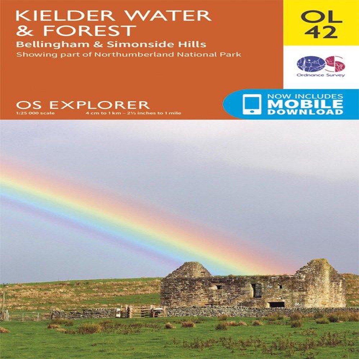
Map sheet OL42 in the OS Explorer series covers an area of Northumberland National Park stretching from Kielder Forest in the west to Netherwitton in the east, and takes in…
 100% Secure Payment & Data Safety
 Global Delivery & Fast Dispatch
 30 Days Free Return & Exchange
Map sheet OL42 in the OS Explorer series covers an area of Northumberland National Park stretching from Kielder Forest in the west to Netherwitton in the east, and takes in the town of Bellingham. Highlights of the area include: Bloody Bush & Larriston Fells Walk around Kielder Water, The Pennine Way national trail and St. Oswald’s Way.
With this map you will receive a code for use on your iOS or Android smartphone or tablet, simply download the OS app from the app store for free enter the unique code on your map and you’re ready to go!
Please note we can not accept maps which have had the panel covering the unique code back for a refund or exchange.
We offer fast and reliable shipping worldwide. All orders are carefully packaged and shipped within 1–3 business days after payment confirmation.
Standard shipping, expedited shipping and express delivery options are available at checkout. Delivery time depends on your destination country and local logistics.
Only logged in customers who have purchased this product may leave a review.
Add Related products to weekly line up


Special Ofers For Subscribers